June 17-21, 2015 - East Tennessee
|
|
Lynnette and I and my daughter's family -- Lucy, Don, William & Griffin -- were doing a family vacation down in East Tennessee. I was flying down in the RV and the rest of the family was driving down in a Mini-Van. Flight time would be roughly two and a half hours. Driving time ten hours. However, the family didn't have to deal with the weather driving in the MiniVan.
They got an early start and I departed Essex Skypark around 1PM. The weather forecast looked OK, not good, but not bad. I had decided to go around the west side of the Washington DC airspace, a little shorter than going around to the east. In hindsight, I should have gone on the eastern side.
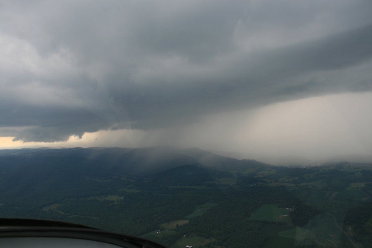
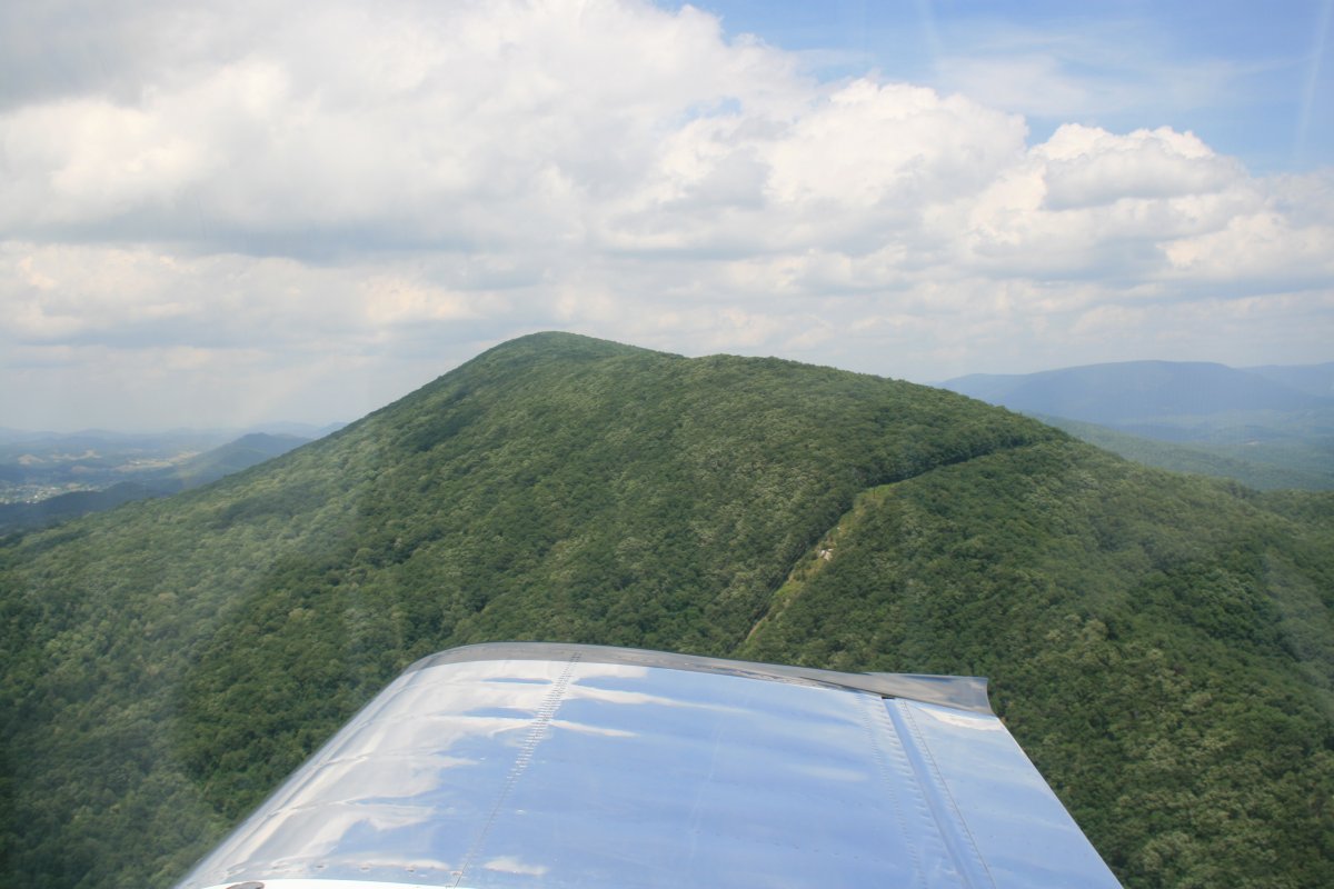
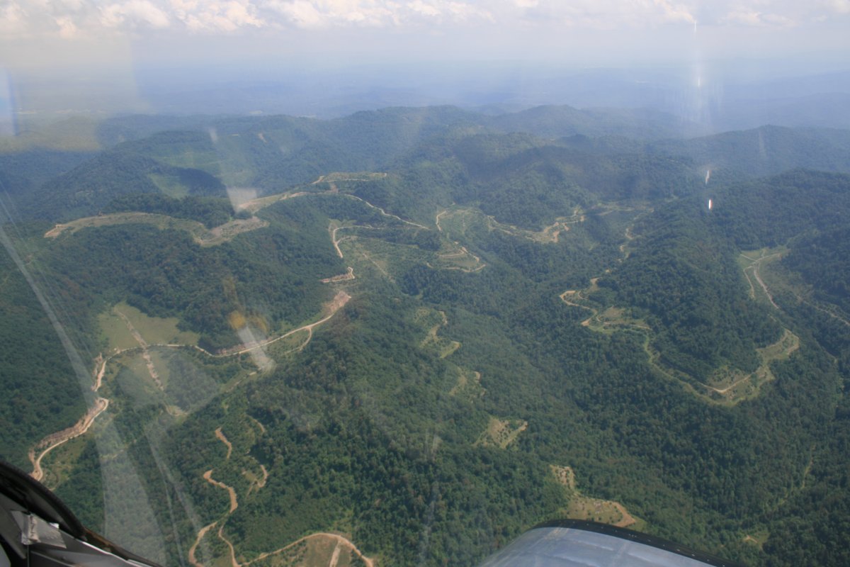
I encountered rain in the northern Shenandoah Valley and stopped at Winchester Airport to regroup and get fuel. Then I tried continuing south along I-81 but almost immediately ran into IMC conditions -- low clouds -- and had to turn around. I headed east and the weather cleared up on the east side of the Blue Ridge mountains. So I was able to continue on to the southwest. Here I'm looking northwest. You can see the rain hitting the mountains.
|
| |
 |
|
|
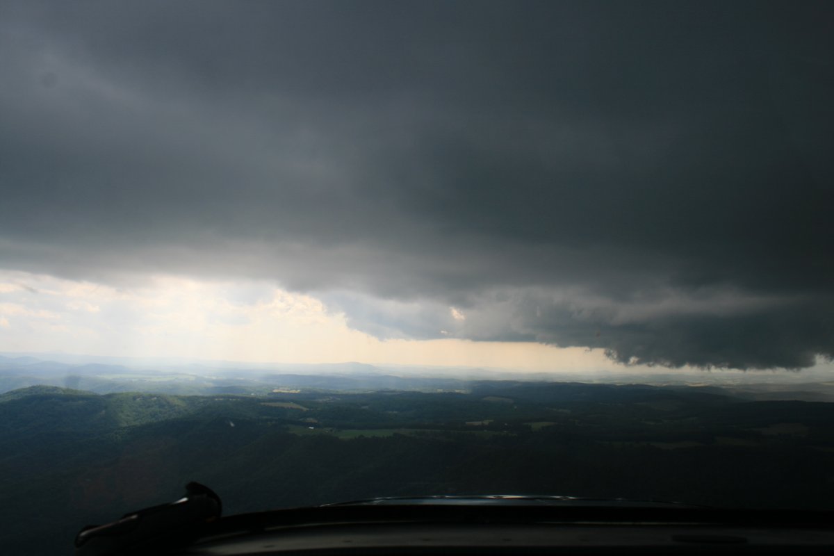
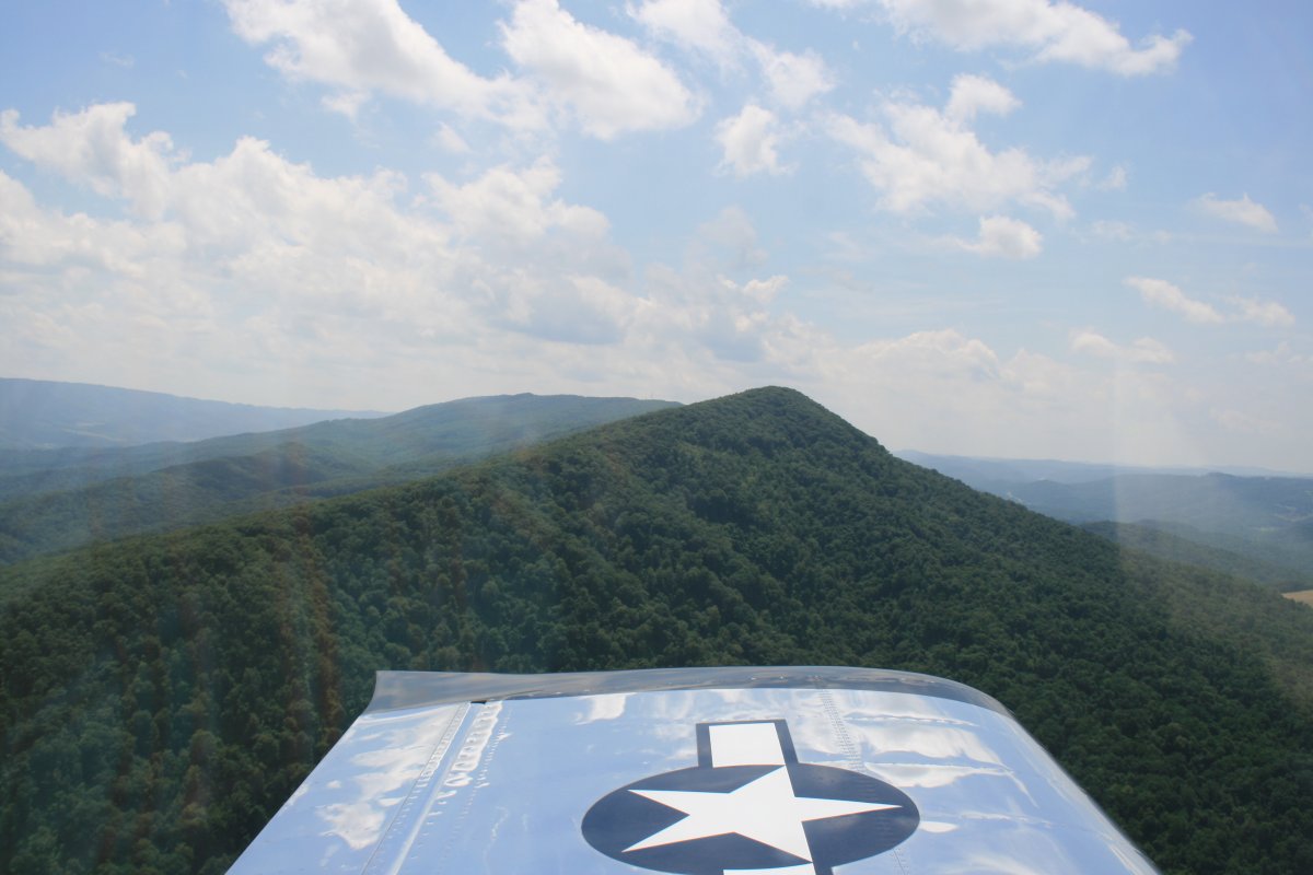
I finally got around the weather around Roanoke. After that it was clear sailing the rest of the way.
|
| |
 |
|
| The sun finally makes an appearance. |
| |
 |
|
|
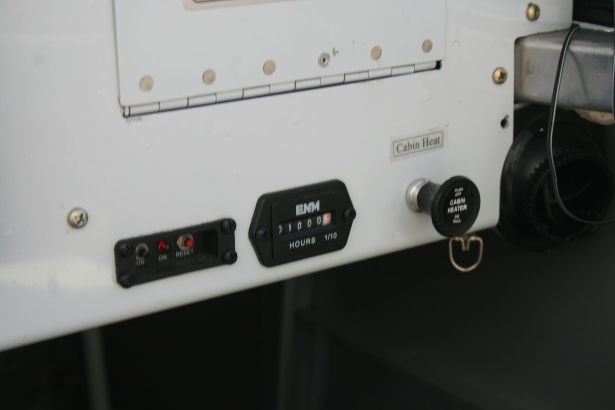
The RV passes 1,000 hours on the Hobbs meter! It's hard to believe it has been six years since I finished building the RV and flew it for the first time. Time does fly when you are having fun.
|
| |
 |
|
| I followed I-81 for awhile, looking for the Lucy and Don's Mini-Van. |
| |
 |
|
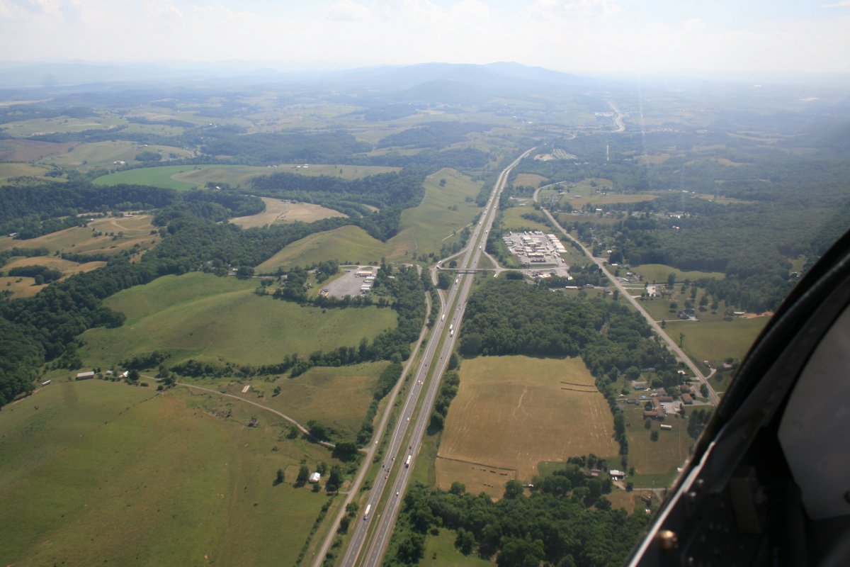
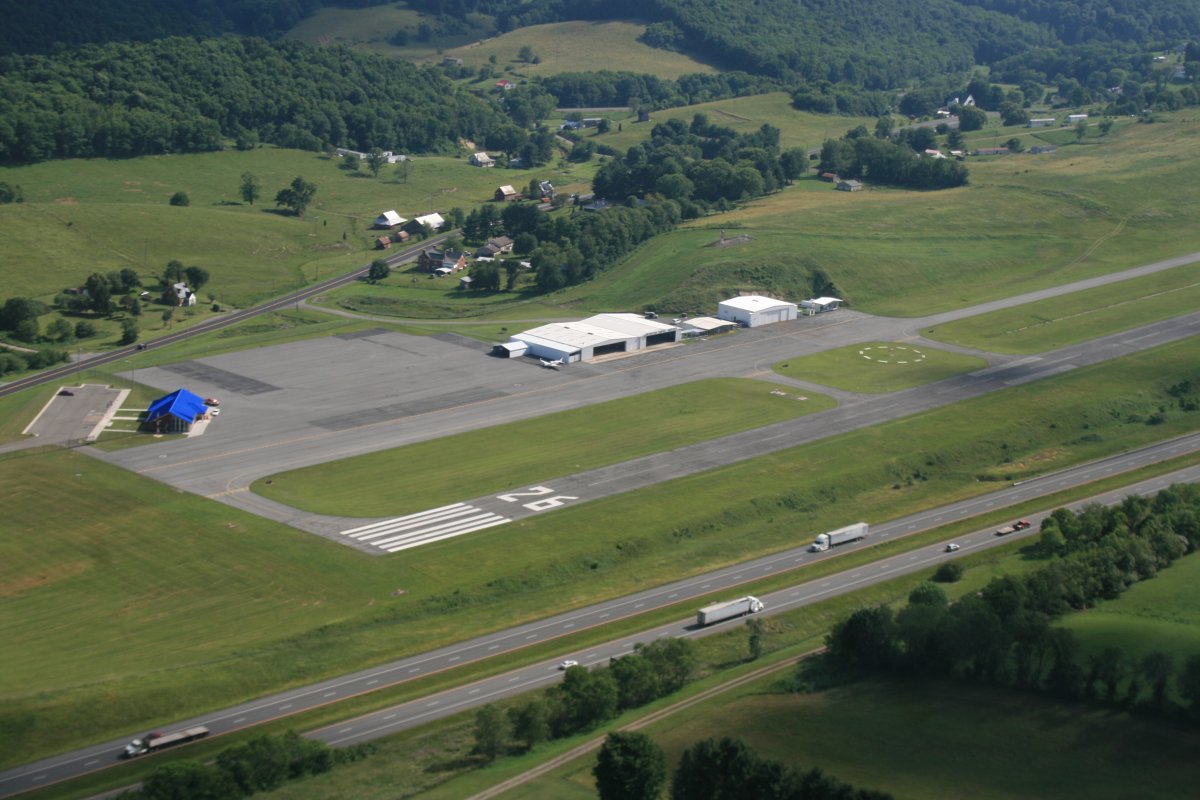
| Mountain Empire Airport (KMKJ) is right alongside I-81. |
| |
 |
|
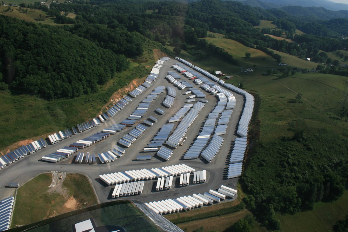
| Trailer Art. |
| |
 |
|
|
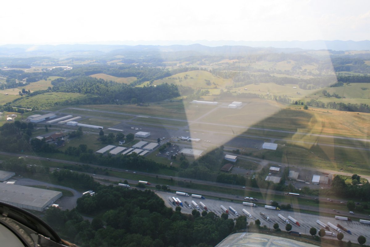
Another airport right off the Interstate: Virginia Highlands Airport (KVJI).
|
| |
 |
|
|
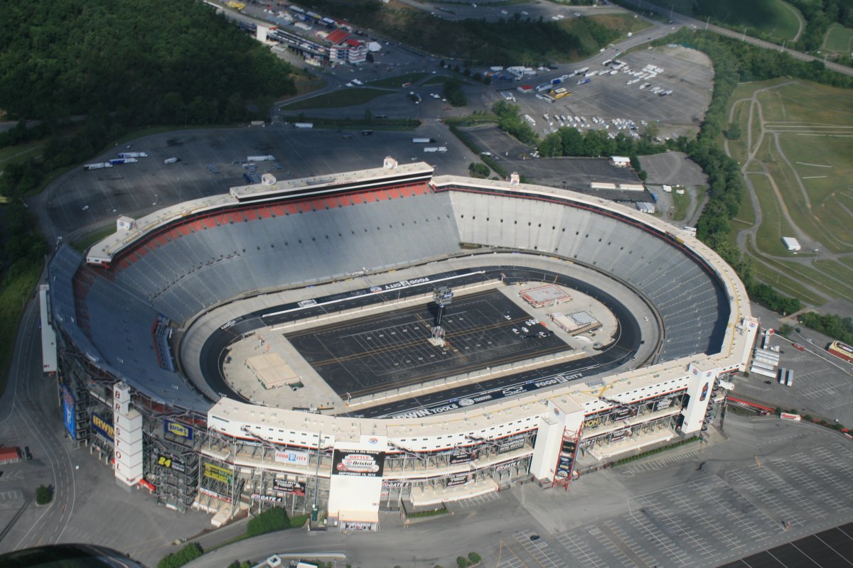
Overhead the Bristol Motor Speedway. This NASCAR short track, in operation since the early 1960's, can hold up to 160,000 people. It is known for extraordinarily steep-banking and loud noise.
The Tennessee - Virginia Tech college football game will be played here in 2016. They are calling it the "Battle of Bristol" and they are expecting 150,000 spectators! There is a big electric sign in the town of Bristol, counting down the days, hours, minutes and second until kickoff. I kid you not. I have seen it. Yes, Football is big here in the south.
|
| |
 |
|
|
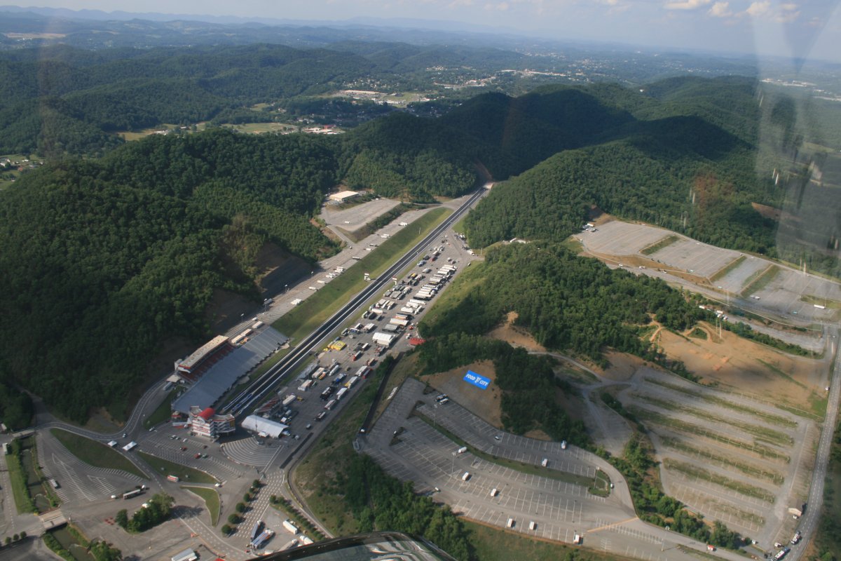
This Drag Strip just next to the speedway is known as Thunder Valley.
|
| |
 |
|
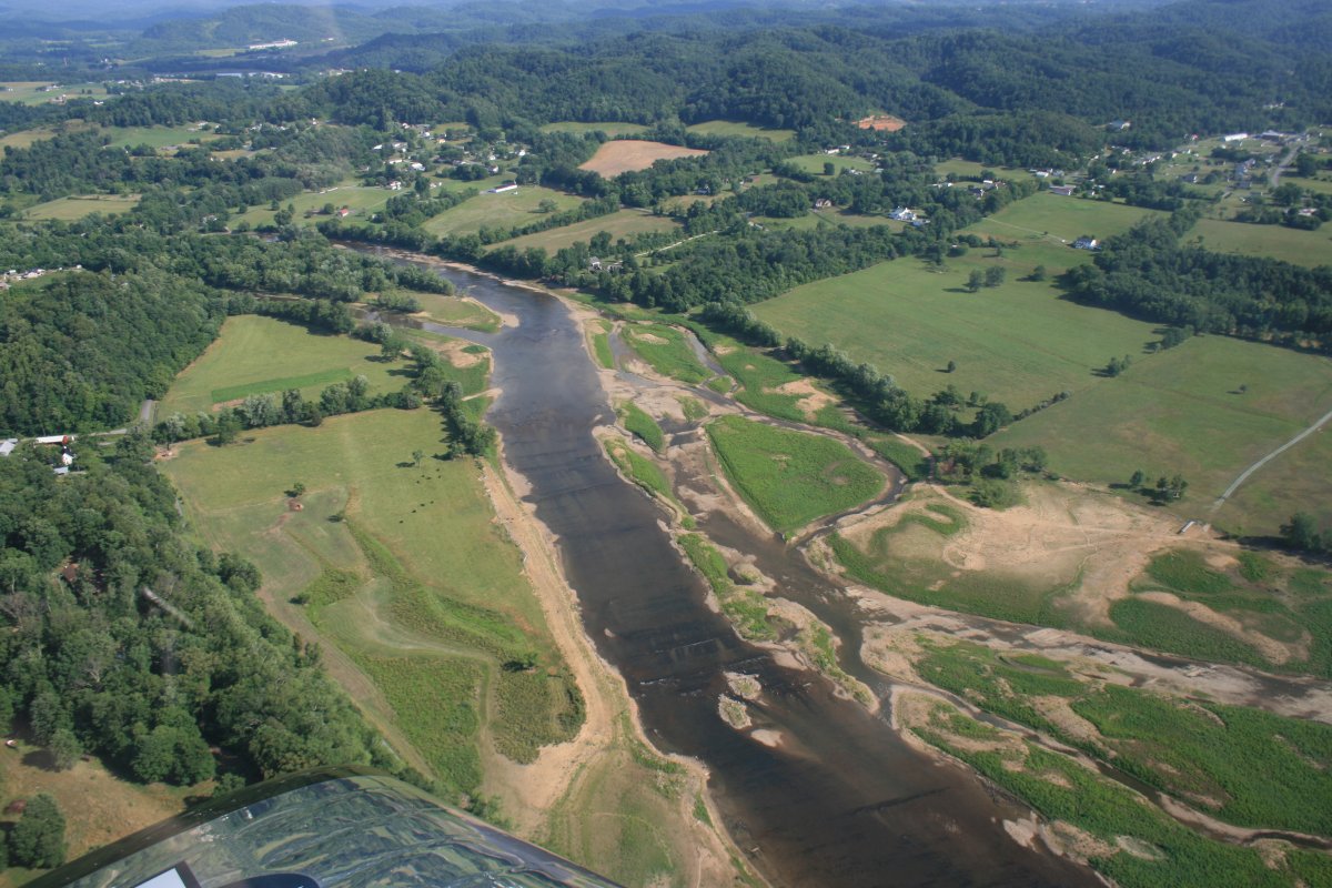
| Continuing south, I flew over this scenic river just north of Johnson City. |
| |
 |
|
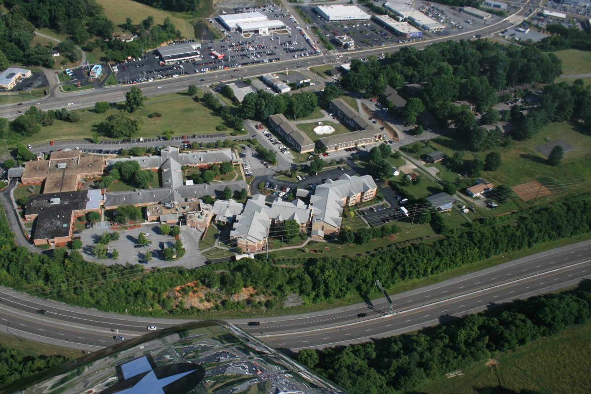
| Dead ahead is the complex where my parents live. |
| |
 |
|
| I can see their apartment in this picture but I did not see them outside. |
| |
 |
|
|
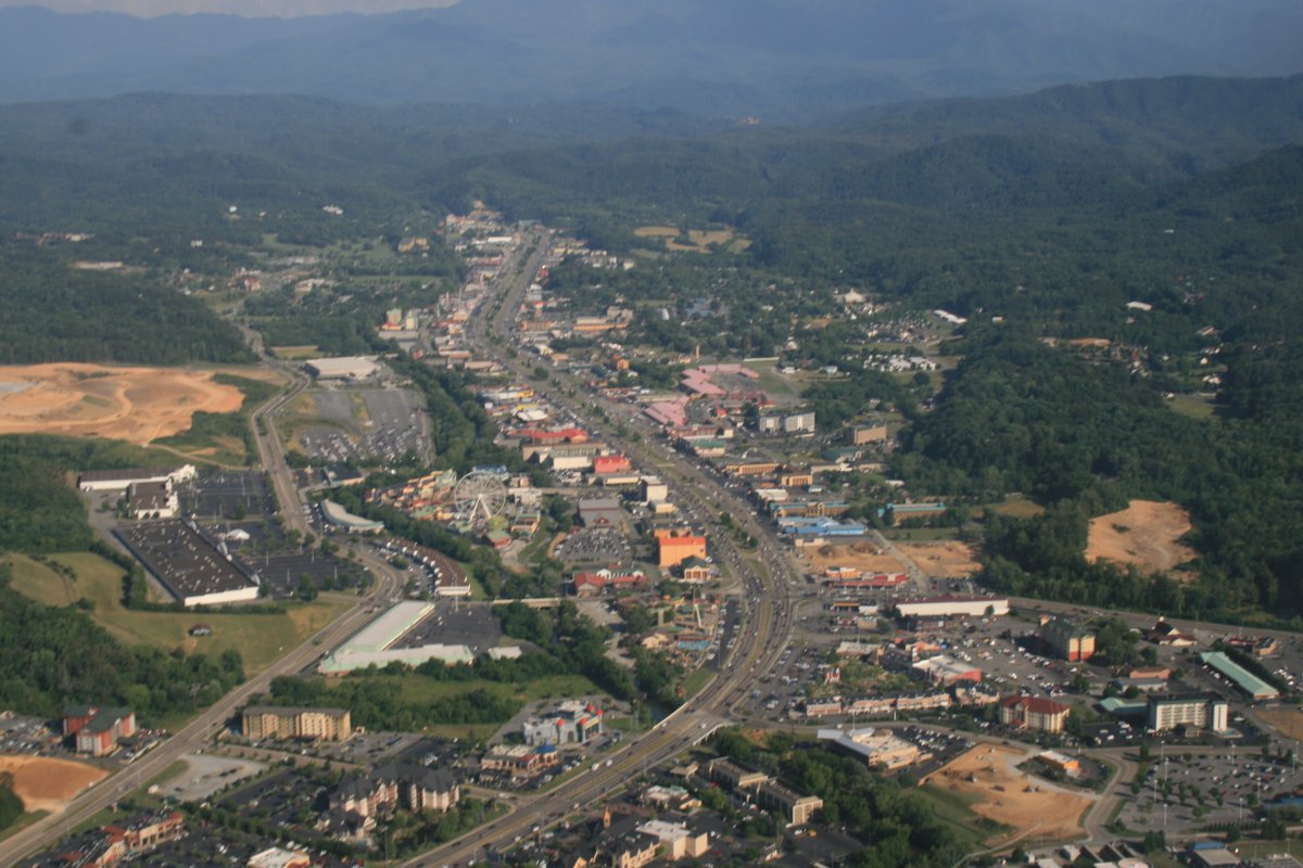
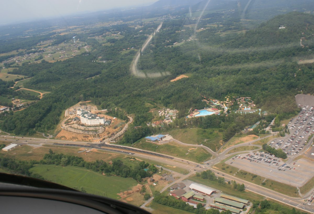
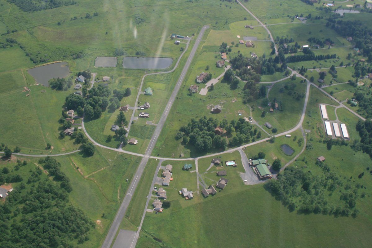
I continued south to today's destination: Pidgeon Forge. I checked it out a little before landing. This is Pidgeon Forge which is quite the vacation town.
|
| |
 |
|
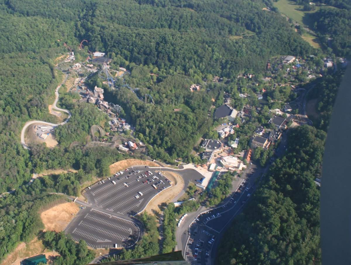
| Just to the east is Dollywood where we would be going tomorrow. |
| |
 |
|
|
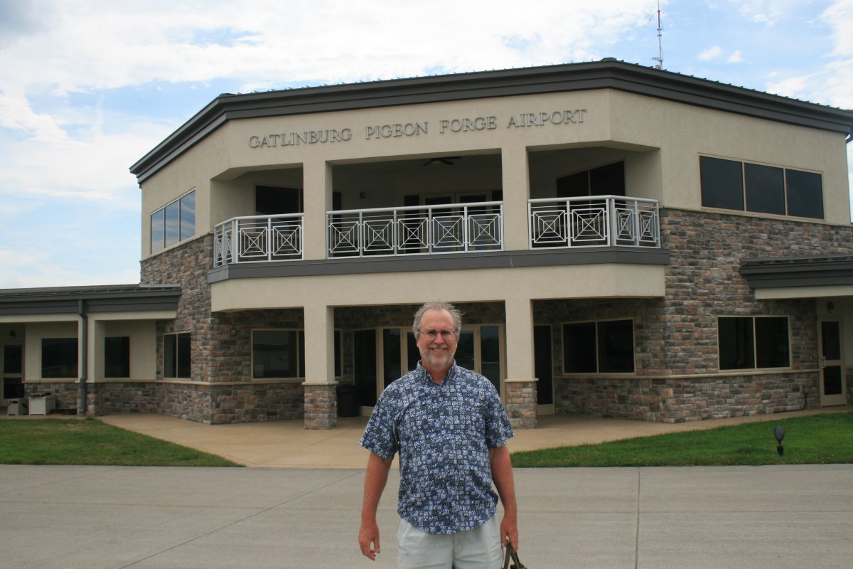
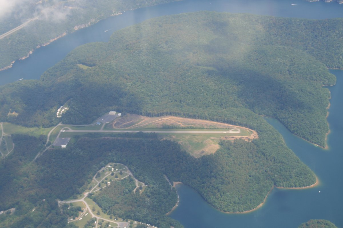
And here is my destination: Gatlinburg - Pigeon Forge Airport (KGKT), which is actually in Sevierville. Heres how to think of it. The three towns are on a line stretching to the south. Sevierville is the first town and is where the airport is. The next town on the line is Pigeon Forge and has all the vacation attractions. Gatlinburg is the third town and is up in the hills. It's also has lots of vacation stuff but not as much as Pigeon Force. Also, Gatlinburg is located in the Great Smokey Mountains National Park.
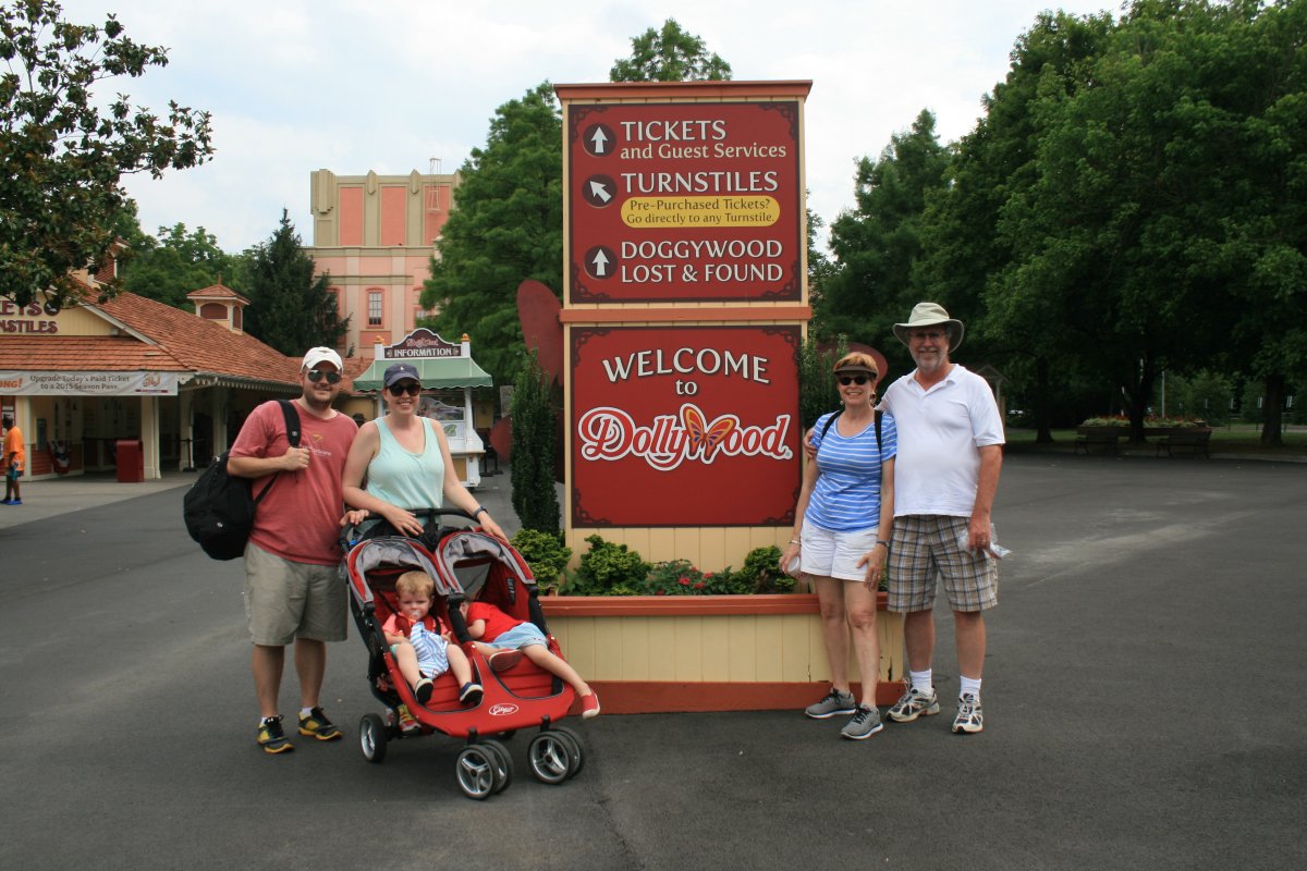
After I tied the plane down, I only had to wait ten minutes or so and the family showed up in the MiniVan. Great timing!
|
| |
 |
|
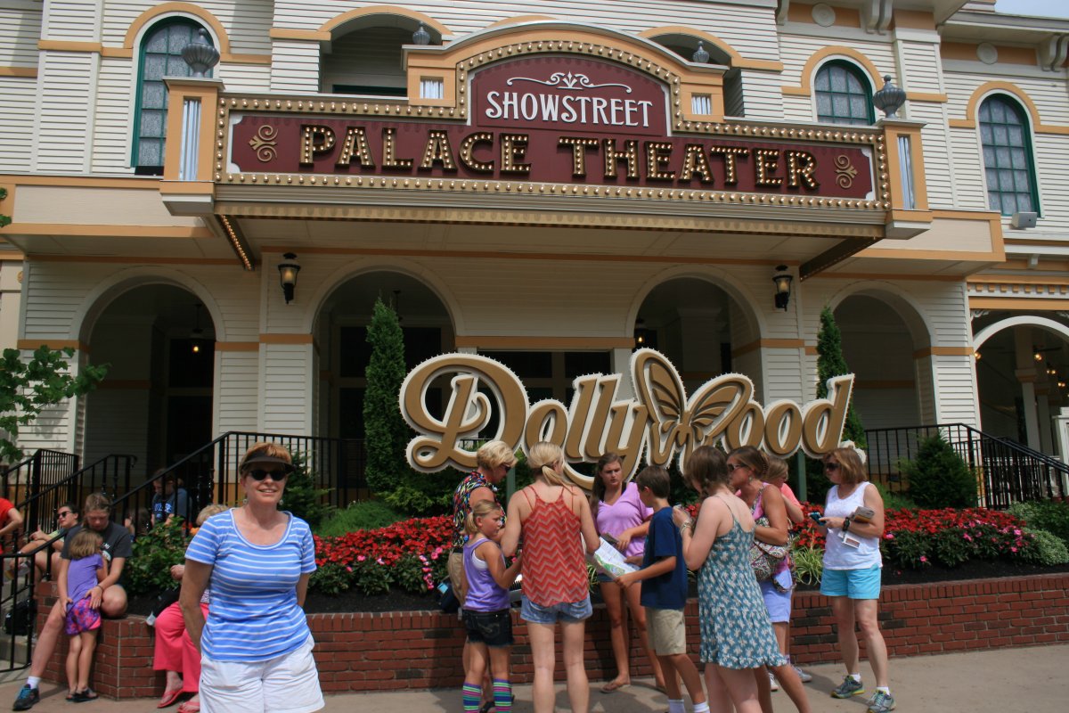
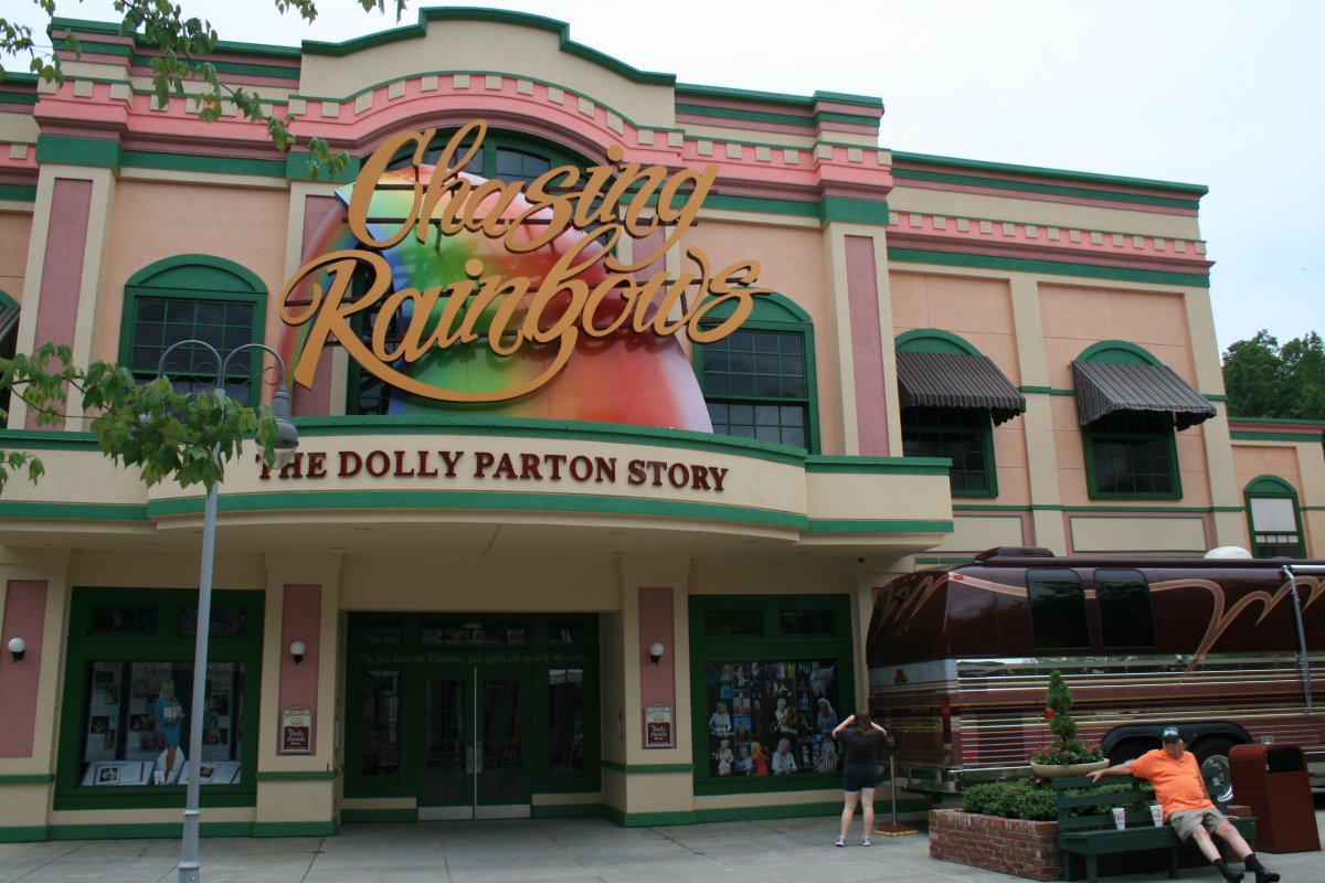
| The next morning we were at the world famous Dollywood which is ranked as the 24-th most popular theme park in the United States. Three million visiters per year. |
| |
 |
|
| We had a great time. Everyone at the park was very friendly. There was lots to do and see. Including the Dolly Parton museum and a tour of her customized touring bus. |
| |
 |
|
| |
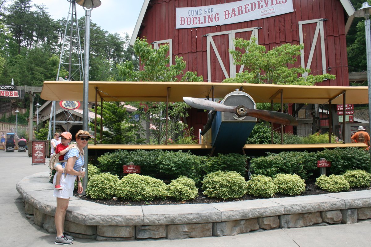
| Lynnette and William admiring the Jenny biplane. I didn't have the courage to go on the Dueling Daredevils ride ... |
| |
 |
|
|
Departing Dollywood after a fun and successful day. William ran out of gas at the end and is sound asleep in the stroller. Griffin is still going strong though.
|
| |
 |
|
|
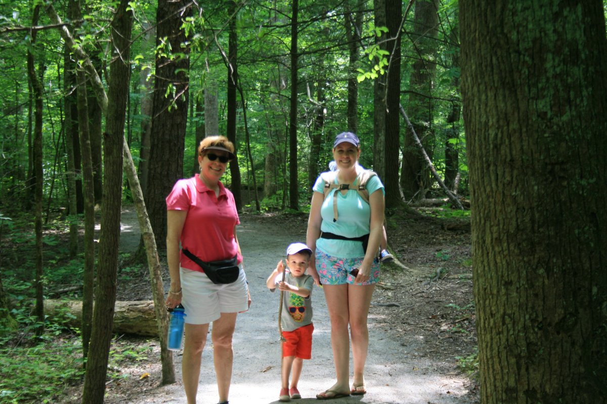
The next day we checked out Gatlinburg up in the hills and did a short hike through the Great Smokey Mountains forest.
|
| |
 |
|
|
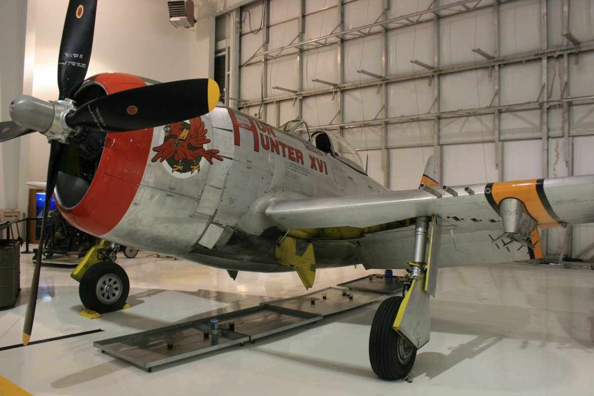
After the Great Smokey Mountains, the family dropped Don and myself off at the airport, and then drove north to Johnson City. Don and I checked out the Tennessee Air Museum. I had been here once before a few years ago. The showpiece of their collection are two P-47 Thunderbolts.
This is P-47 number one: Hun Hunter.
|
| |
 |
|
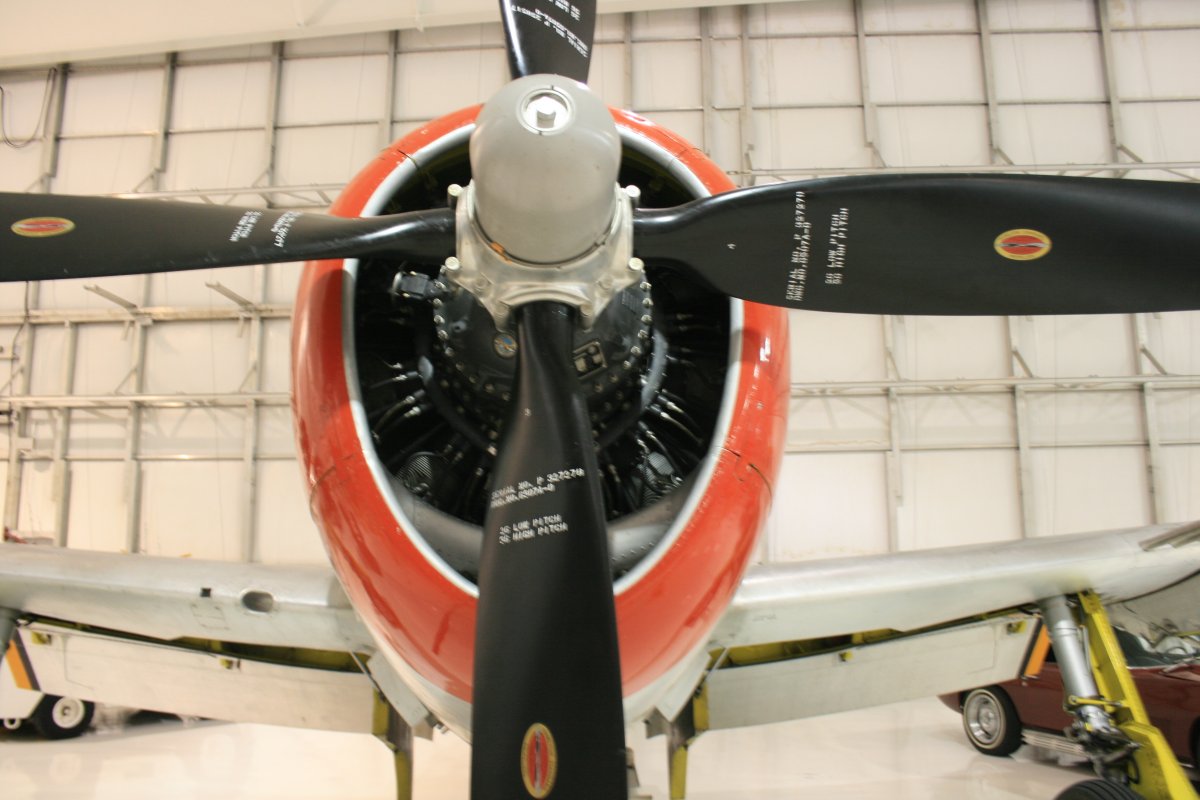
| The P-47 has a big radial engine, as opposed to the inline Merlin the P-51 Mustang has. |
| |
 |
|
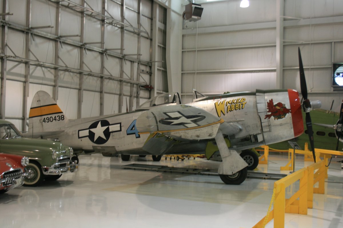
| P-47 number two: Wicked Wabbit. |
| |
 |
|
|
Getting ready to depart Gatlinburg - Pigeon Forge Airport which has a nice FBO building.
|
| |
 |
|
| We took off and did a little sightseeing before heading north. Below are Dollywood's Splash Country waterpark on the right and Dollywood's DreamMore Resort on the left. Dolly also owns the Dixieland Stampede and Lumberjack Feud dinner/show attractions in Pigeon Forge. Everyone knows Dolly is a great singer but clearly she's quite the businesswomen too. Just think of how many jobs she has created for this area where she is from. Nice story. |
| |
 |
|
|
Don and I landed at Johnson City airport and amazingly, the MiniVan arrived a short time later.
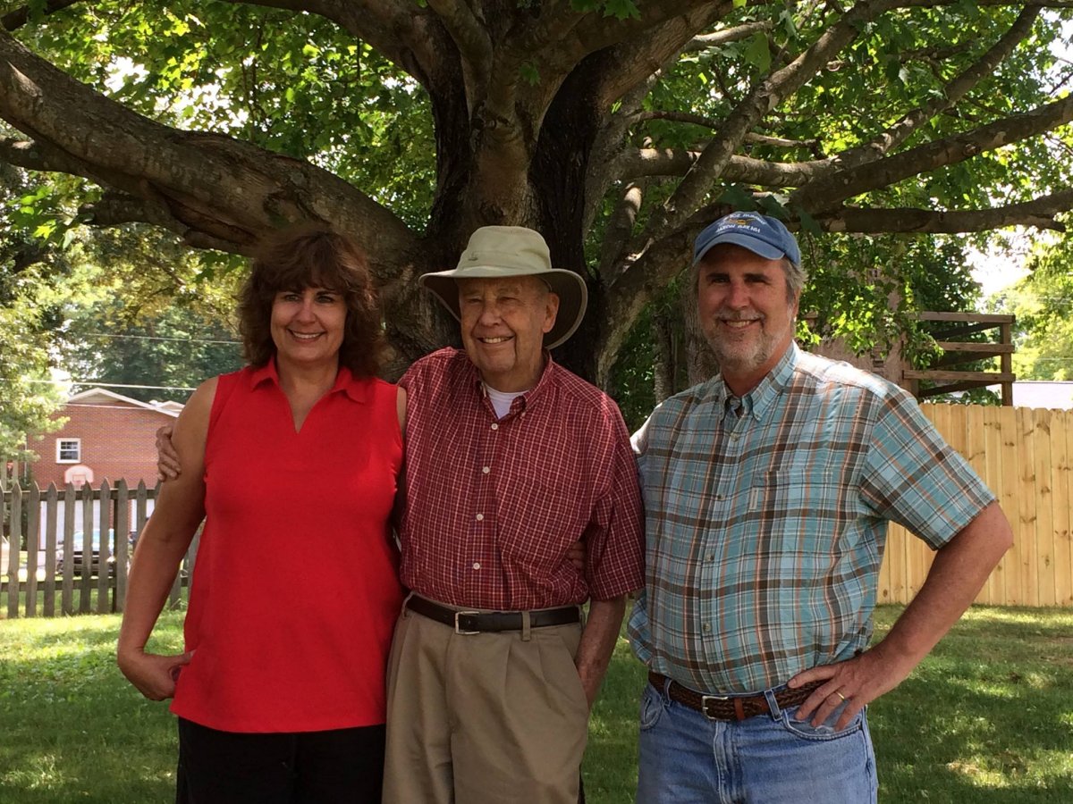
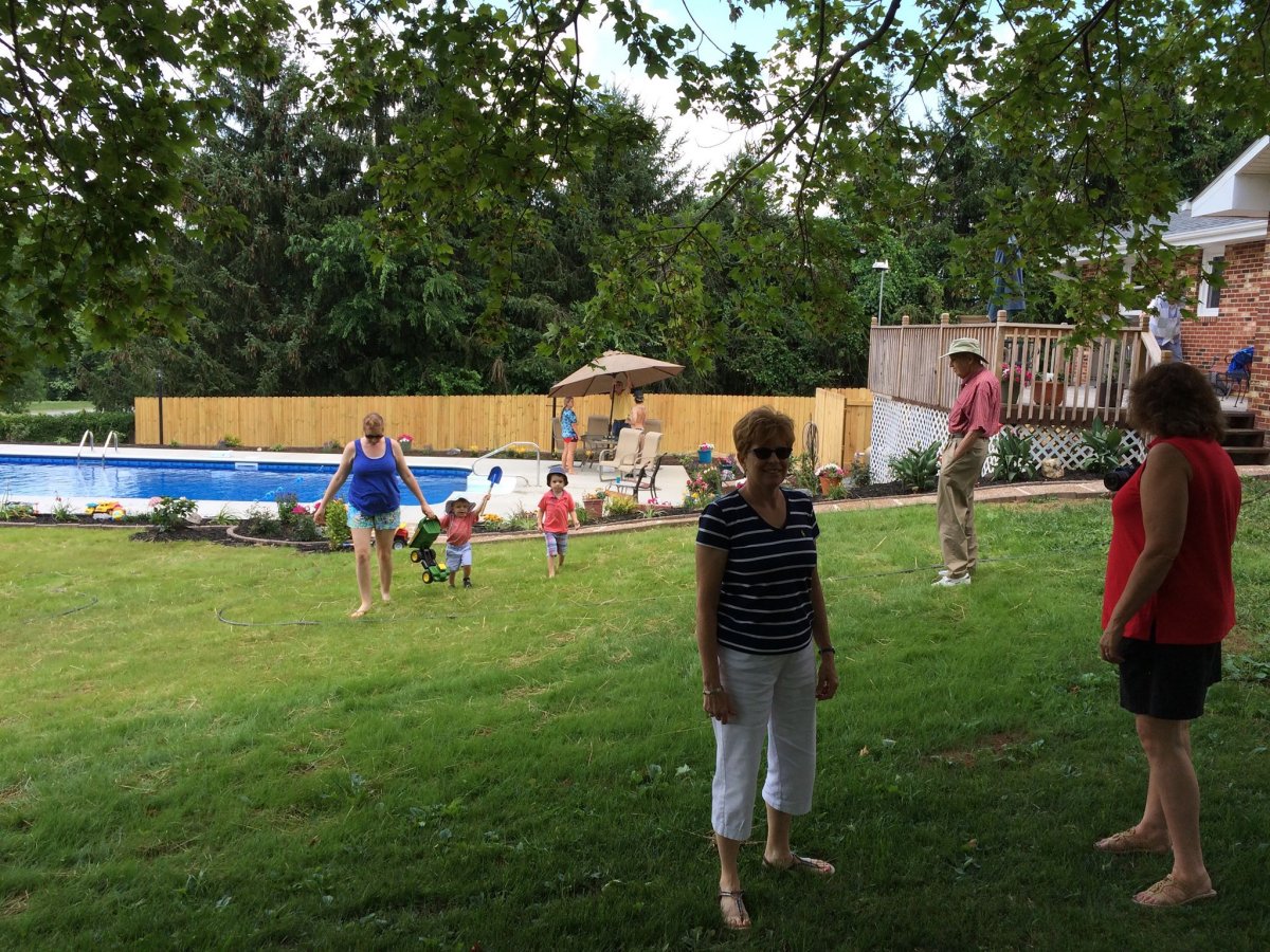
We stayed at sister Susan's house which features a brand new swimming pool!
Here is a nice picture of Susan, my Dad and me, taken on Father's Day.
|
| |
 |
|
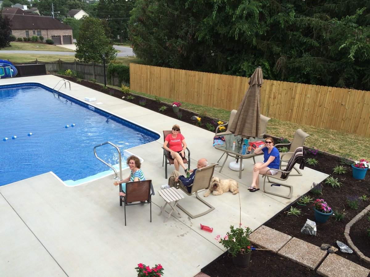
| And here is the family gathered around the brand new pool, complete with landscaping. |
| |
 |
|
| Another look at the pool with family in action. |
| |
 |
|
| |
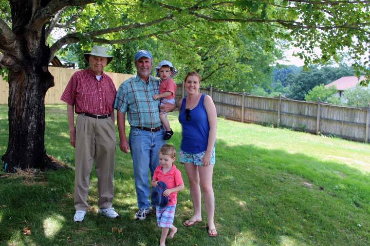
| Four generations of Cloughleys. |
| |
 |
|
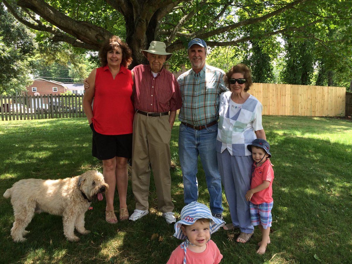
| Four generations of Cloughleys -- minus one generation plus one dog. |
| |
 |
|
|
The next day was travel day. Lynnette and my parents dropped me off at the airport, I hopped in the plane, and headed east northeast. The weather looked to be excellent the entire way home so I looked forward to doing some aerial sightseeing.
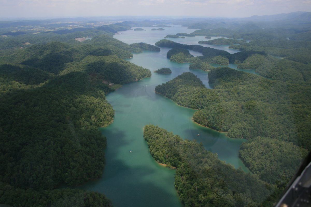
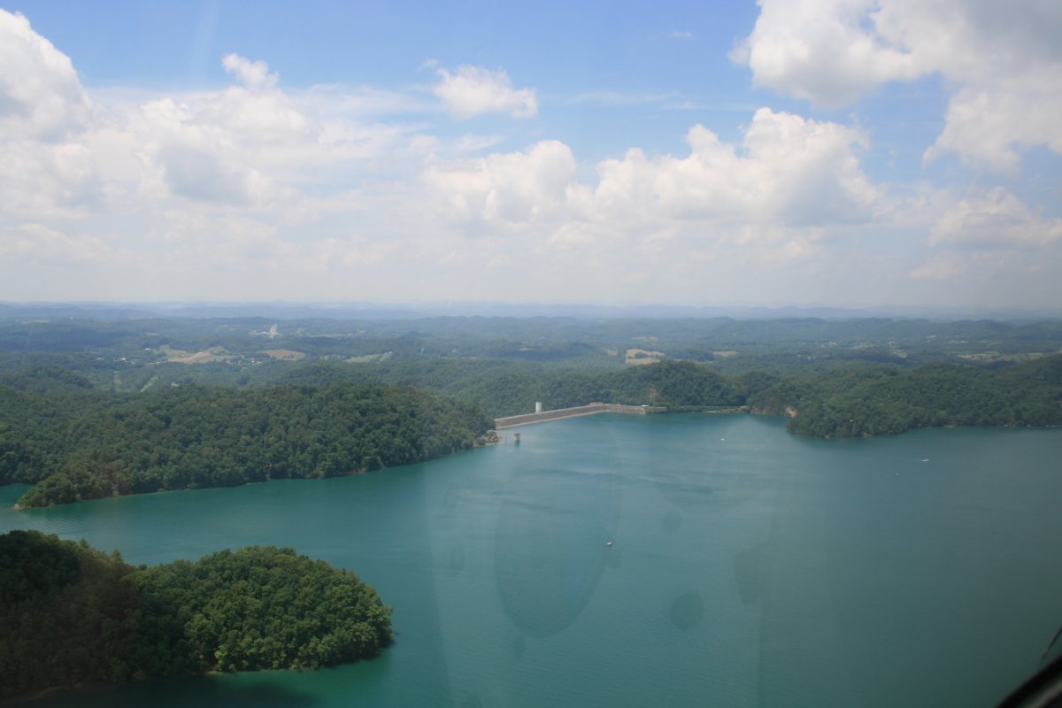
This is South Holston Lake, just east of Bristol.
|
| |
 |
|
| |
|
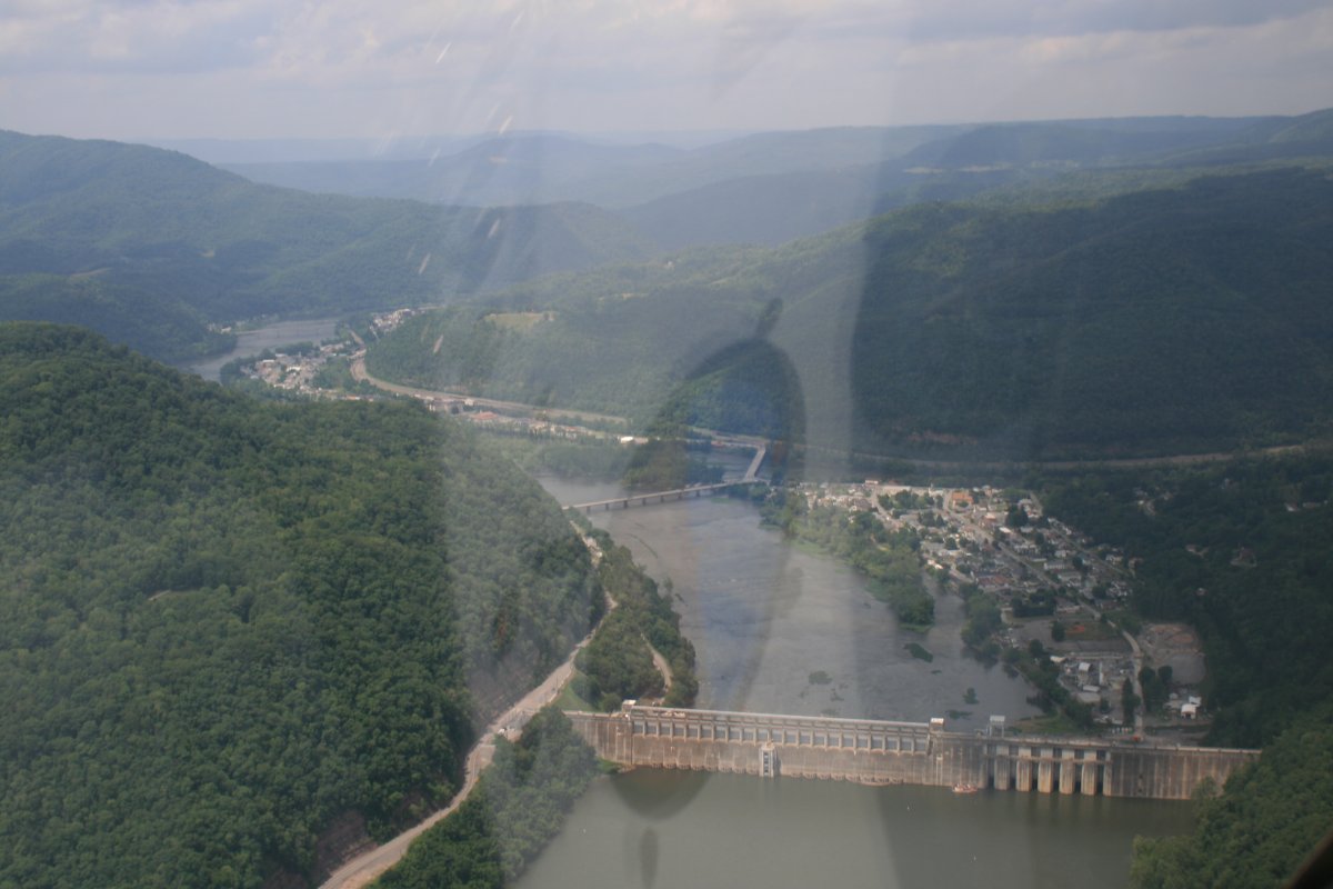
Where there's a lake, there's usually a dam. Here is the South Holston dam.
|
| |
 |
|
|
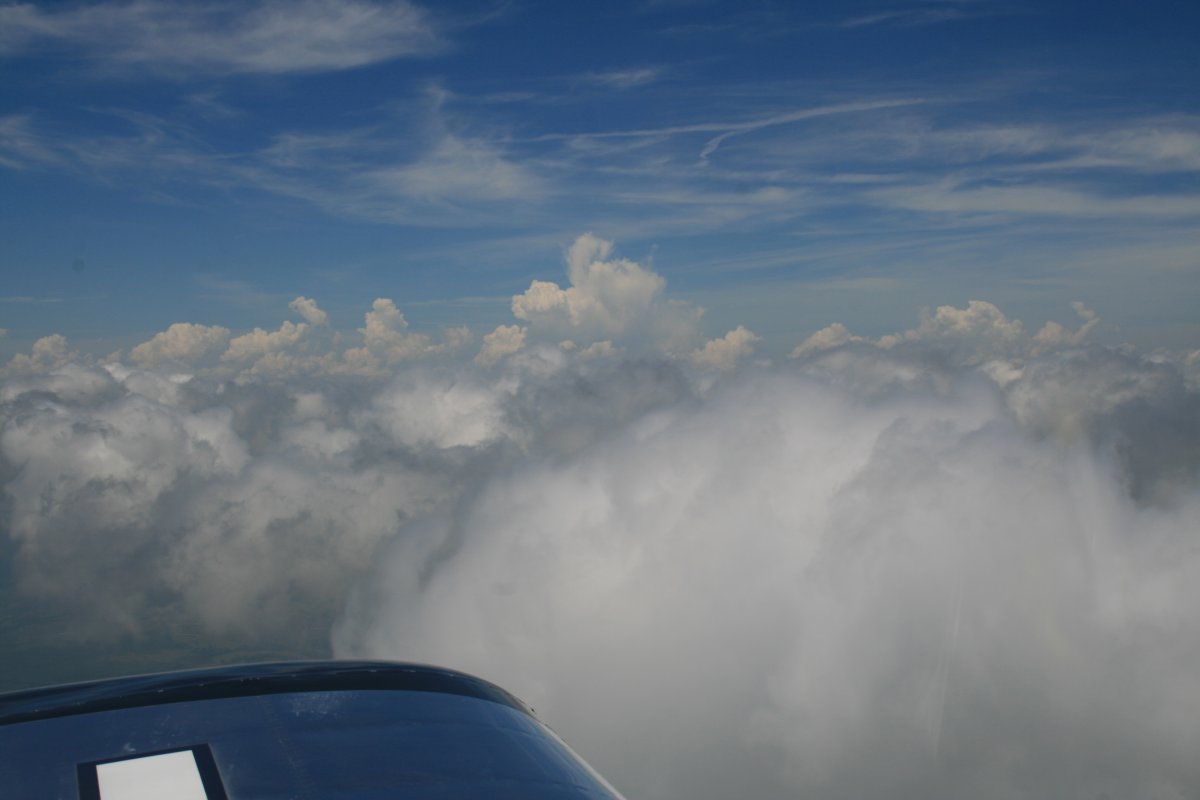
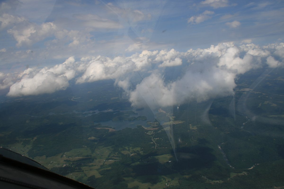
I cruised up above the clouds for awhile.
|
| |
 |
|
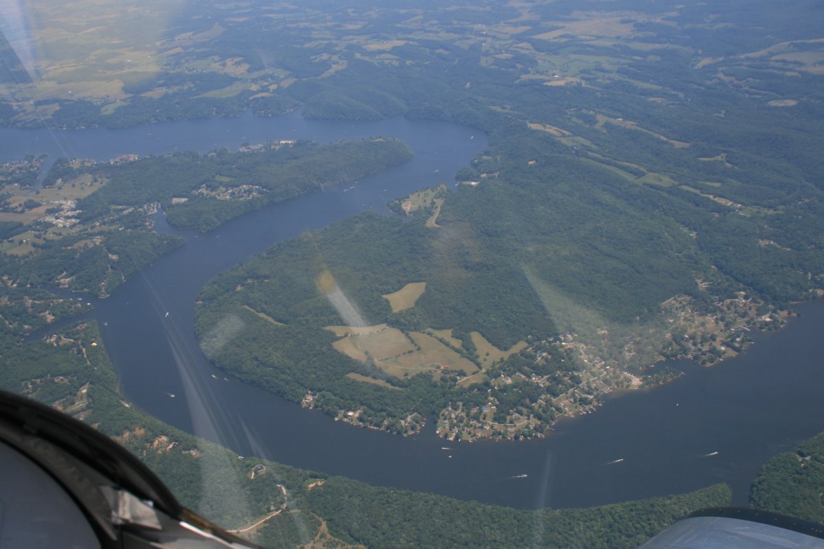
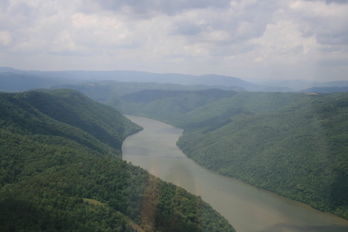
| I began my descent when I reached the New River -- near Blacksburg -- which I intended to follow to the northwest. |
| |
 |
|
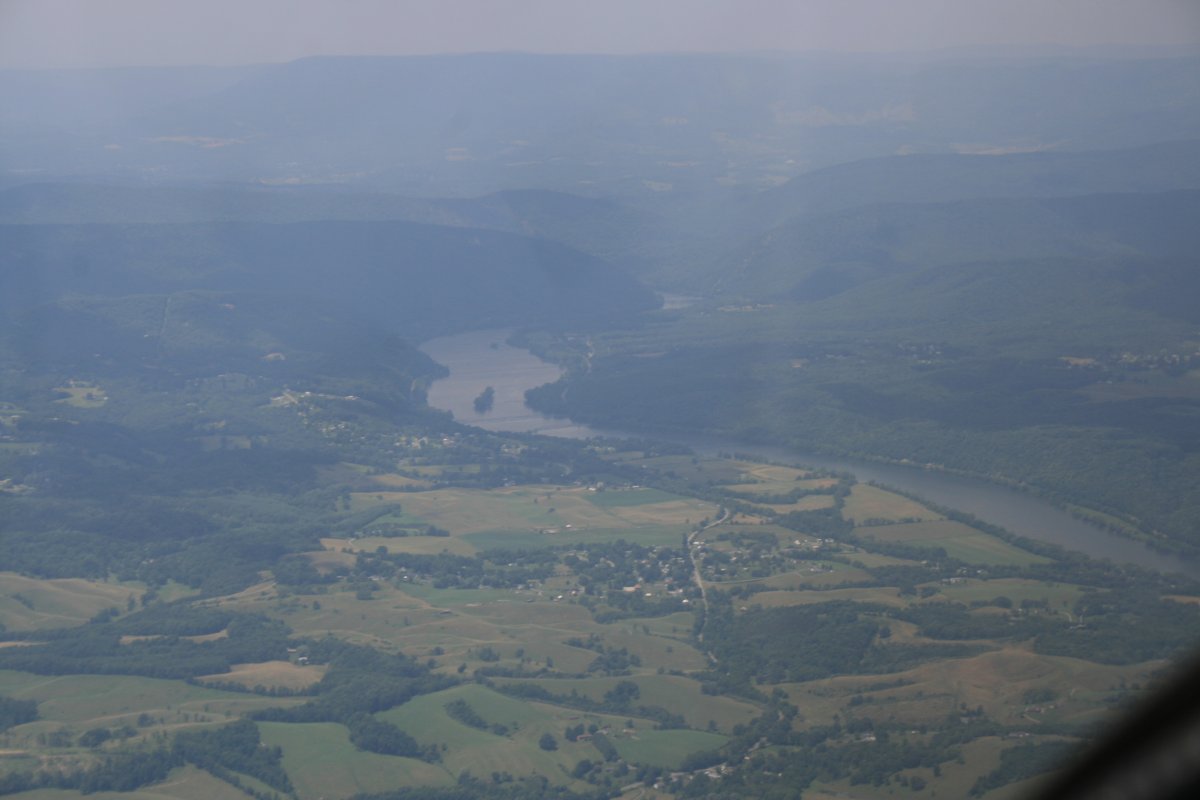
| The New River enters the mountains. I will follow. As you can see it's pretty hazy. |
| |
 |
|
|
But not when you get close.
Tree-covered mountain off my right wing.
|
| |
 |
|
|
Another off my left wing.
|
| |
 |
|
| A factory off the river and a highway heading off west through the mountains. |
| |
 |
|
|
But civilization is disappearing rapidly.
|
| |
 |
|
| Soon, tree-covered mountains and the river was all there was. At times like these, I'm glad I have my SPOT locating device. I also have a portable 406 emergency location transmitter (ELT). |
| |
 |
|
| This little beach on the river is extremely remote but apparently is quite popular. |
| |
 |
|
| |
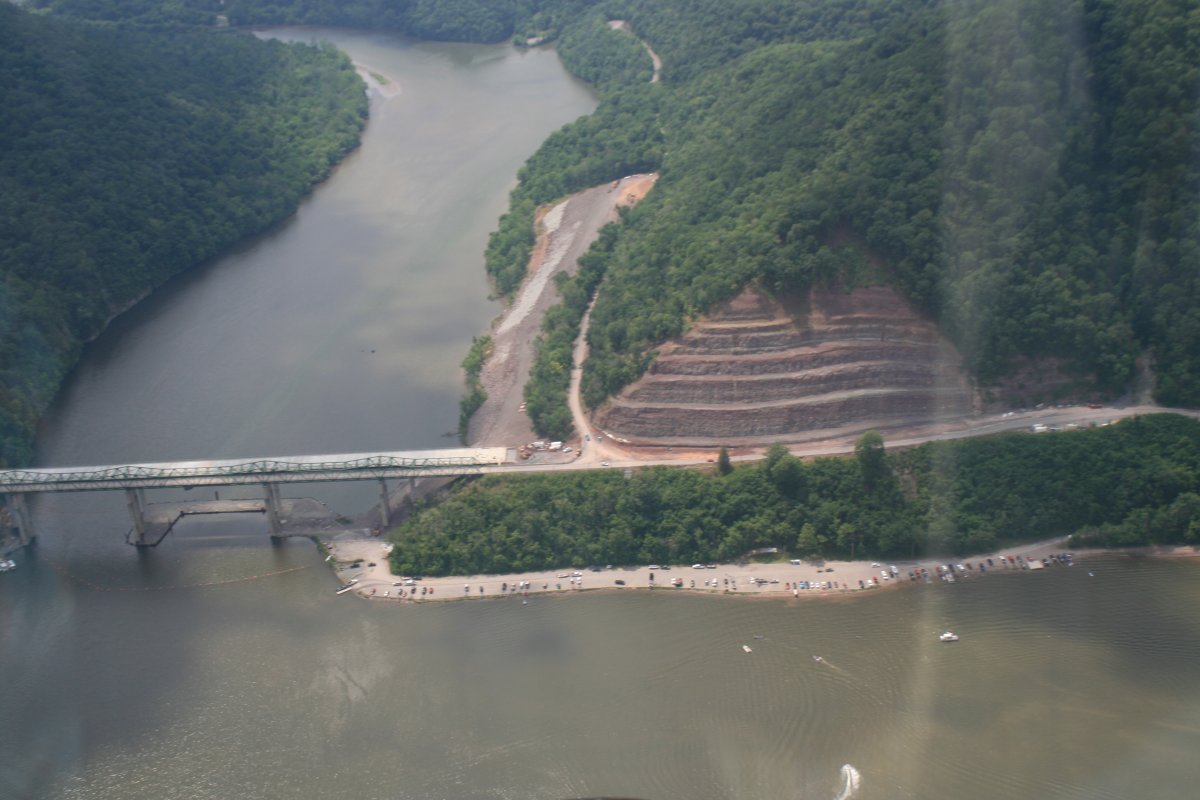
| A dam and a little town was just a little ways further. |
| |
 |
|
|
But soon, back to the rugged wilderness. Although now a railroad track ran alongside the river.
|
| |
 |
|
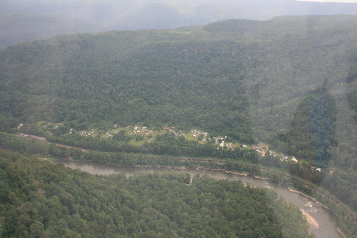
| Occasionally I'd see little pockets of civilization along the river. |
| |
 |
|
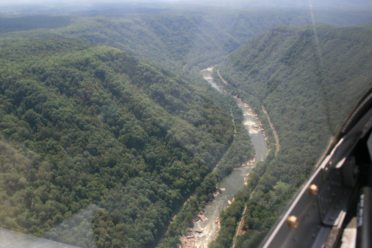
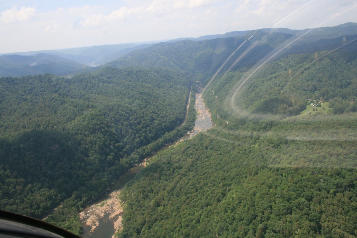
| I believe this area is called the New River Gorge. |
| |
 |
|
| |
| Above the rim, nothing but tree-covered hills and blue sky with clouds. |
| |
 |
|
|
Continuing on. It was actually a little bumpy so my pictures are blurred somewhat.
|
| |
 |
|
|
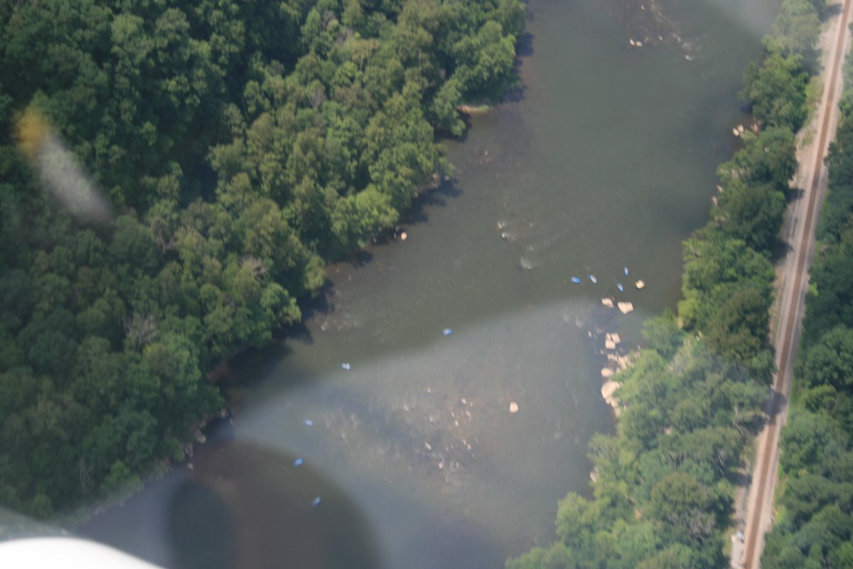
This picture is blurred but you can see blue raftboats down below. Plus a good shot of the railroad.
|
| |
 |
|
| Looks like some whitewater rafting opportunity along this stretchy. |
| |
 |
|
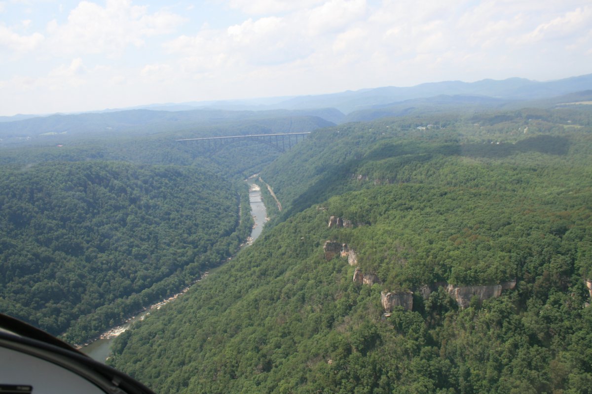
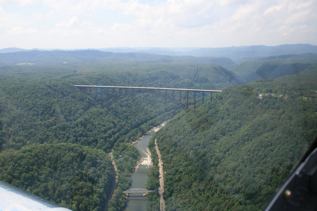
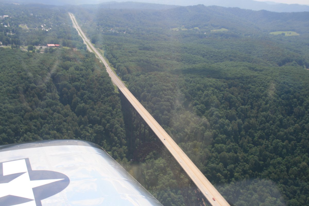
| And then there it was. The famous New River Gorge bridge. I've heard about it but never seen it. |
| |
 |
|
Built in 1977, the bridge is 876 feet above the river. The third Saturday of every October is "Bridge Day" on which they allow rappelling, ascending, and BASE jumping.
Bungee jumping, however, has been banned during Bridge Day since 1993. Paul in my EAA Chapter has jumped off this bridge over 50 times. |
| |
 |
|
|
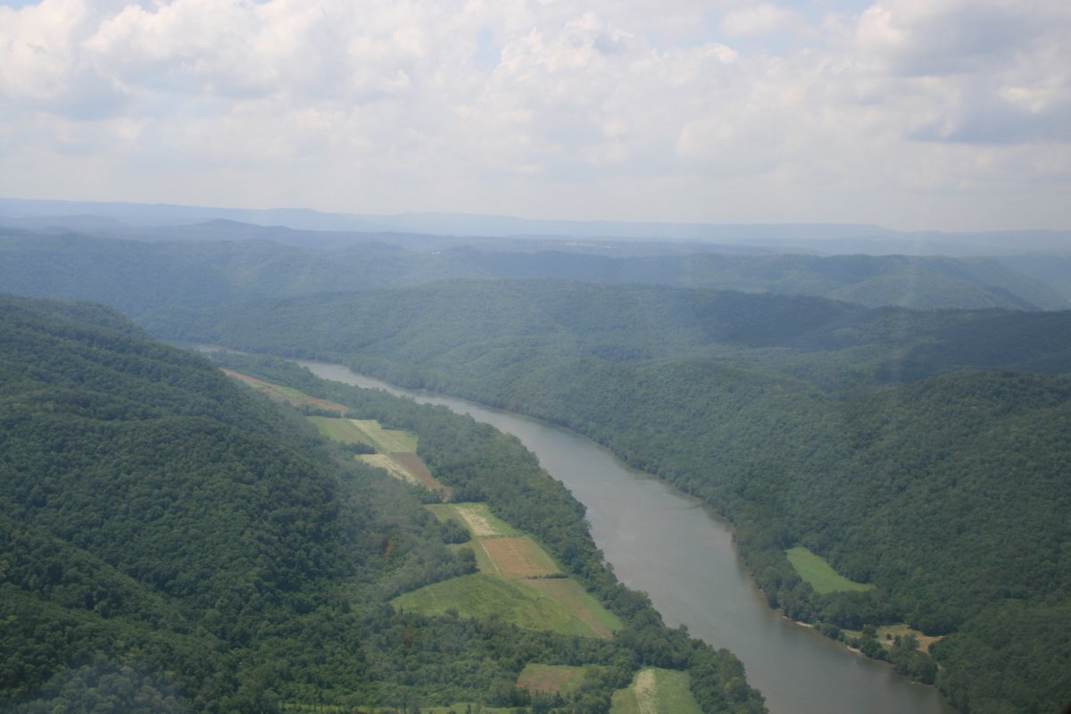
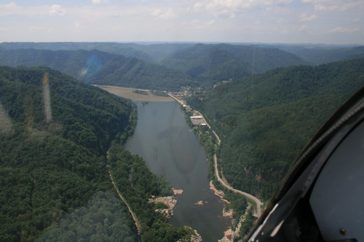
US 19 heads southeast towards the town of Fayetteville and then Beckley.
|
| |
 |
|
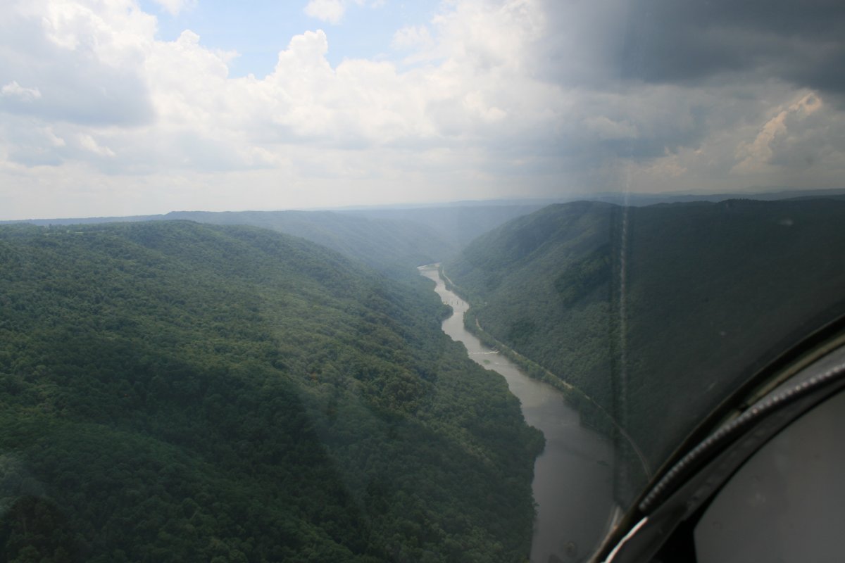
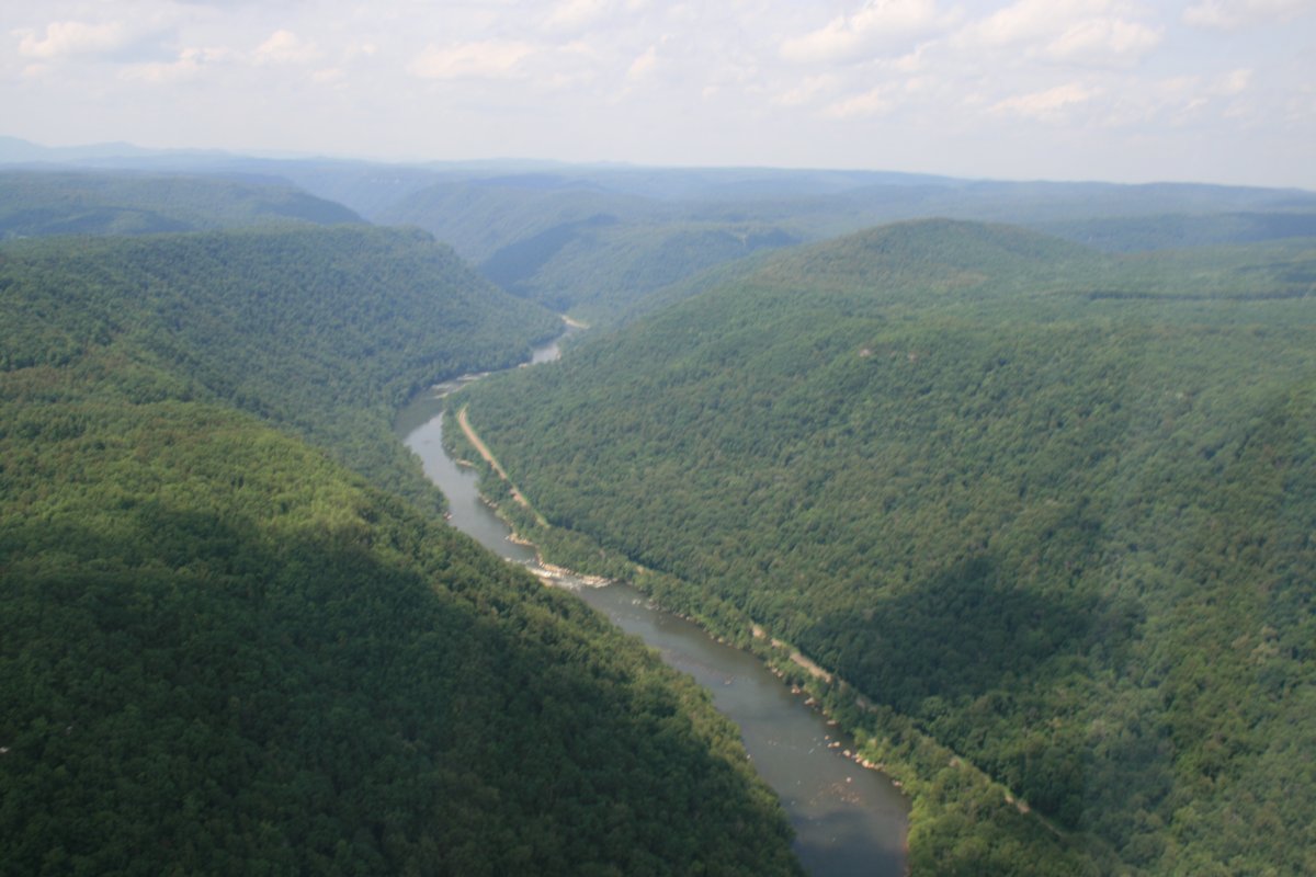
| Continuing northeast. The river is pretty narrow and rocky now. |
| |
 |
|
|
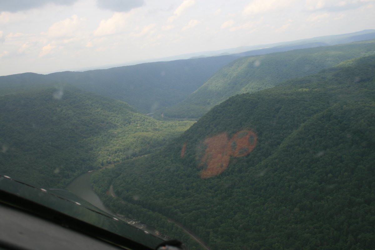
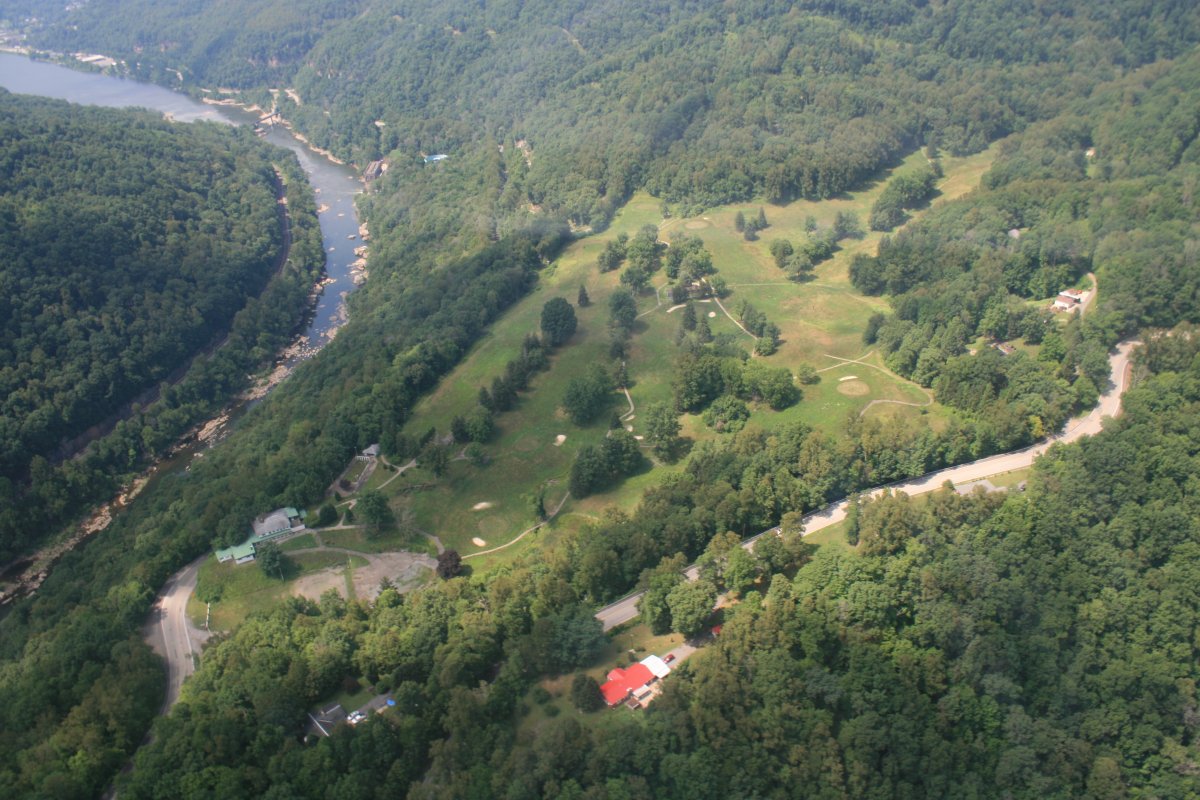
I flew over this golf course sitting on a bluff overlooking the river. It looks to me like it's no longer operational. I did some research on the web and this 9-hole course is is named Hawk's Nest Golf Course and is part of Hawk's Nest State Park. But it does appear to be closed.
|
| |
 |
|
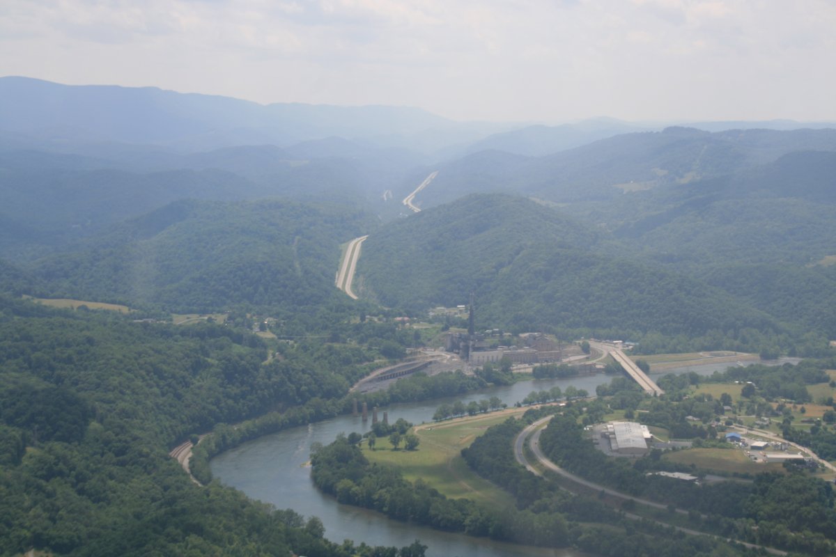
| Up ahead is Gauley Bridge. From here the New River heads west northwest to Charleston, WV -- almost opposite to the direction I needed to go to get home. I'd seen enough of the New River anyways, so I made a right at the Gauley River and began climbing. |
| |
 |
|
| This area reminded me of Oregon with all the logging roads on the mountain. I'm guessin that's what they were. |
| |
 |
|
| |
| Looking down at Summersville Lake. |
| |
 |
|
|
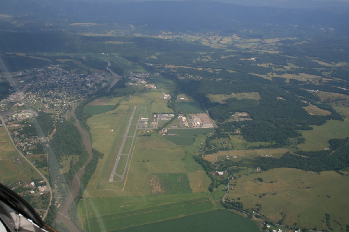
And there is Summerville Airport (KSXL) which has no fuel available but would be pretty convenient to stage out of for a fishing trip.
|
| |
 |
|
|
I continued northeast along the highest part of the Appalachian Mountains, almost completely uninhabited.
Then I came to Windwood Fly-In Resort Airport (WV62). I landed here in the Citabria way back in 2006. Link It's an airport community but also has a resort motel and restaurant. Lynnette and I will have to visit here one of these days. You need prior permission to land though. |
| |
 |
|
|
A closer look. The restaurant is in the building to the right of the runway with the green roof.
|
| |
 |
|
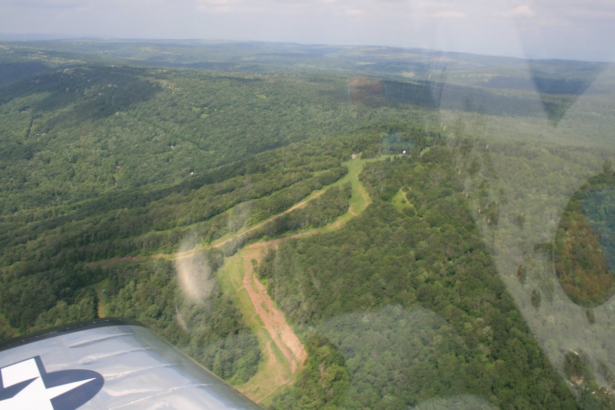
| I turned east and passed ski trails on a mountain. |
| |
 |
|
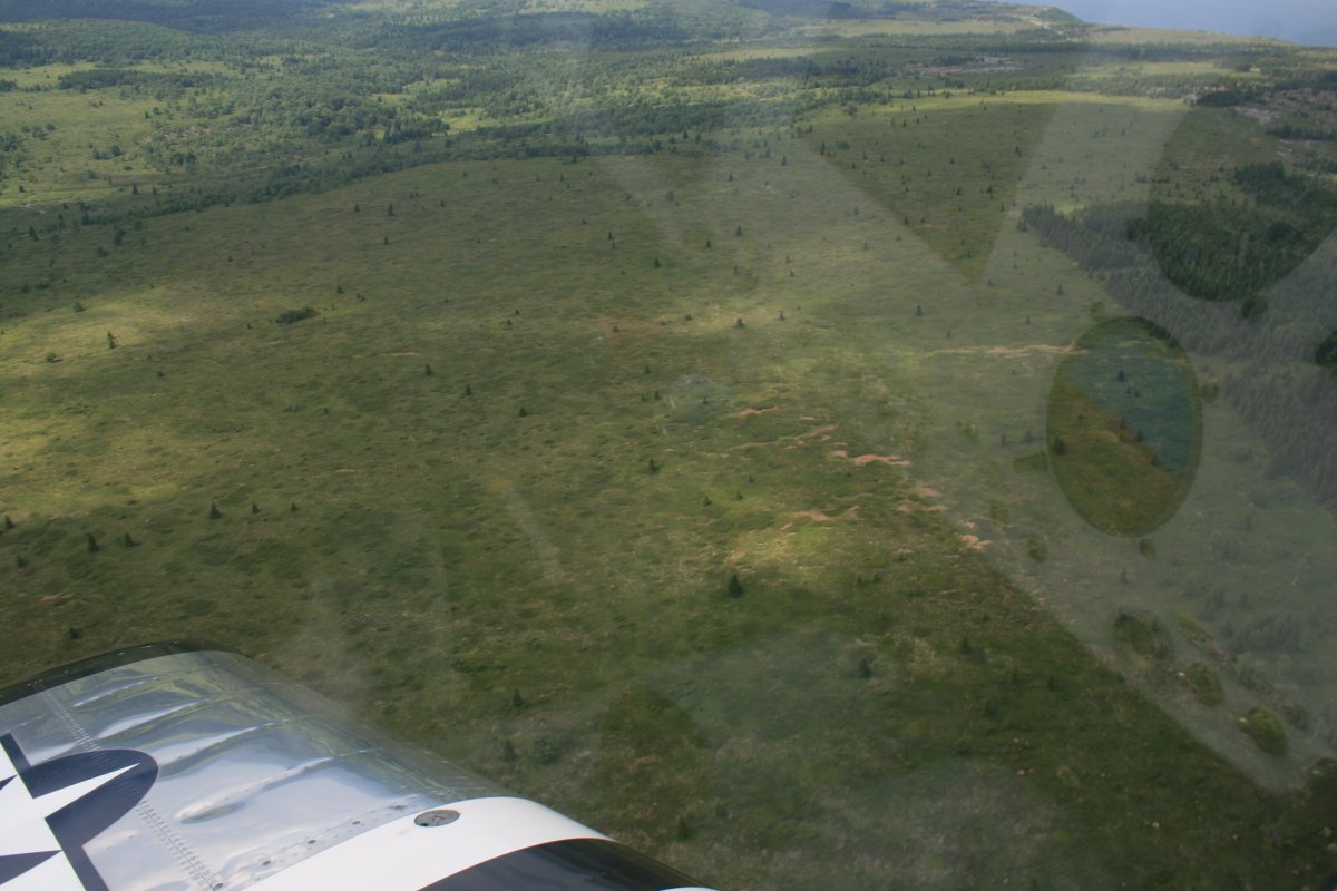
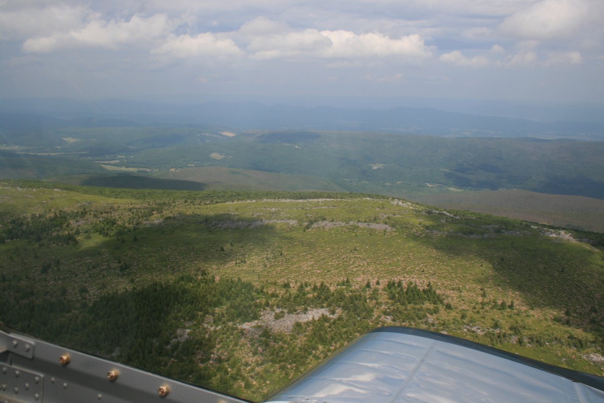
| Then I was over the Dolly Sods wilderness area which I remember as being very pretty nine years ago. It still is. It's a high-altitude plateau. |
| |
 |
|
|
Dolly Sods has an amaziing story. The area was first discovered by whites in 1746.
The name Dolly Sods derives from the family name of Johann Dahle (1749–1847), a German immigrant who settled nearby. Such early
settlers utilized the natural open fields on mountainsides known as "sods". Logged out and burned over areas produced additional
good grass cover for grazing sheep and cattle. (Repeated burning, however, killed the grass and left only bracken fern, which was
useless as fodder.) Locals changed the spelling of Dahle to "Dolly" and thus one such area became known as Dolly Sods. The Dahle
family eventually moved on, leaving behind only the Americanized version of their name."
"The extensive high areas in Dolly Sods and Flatrock-Roaring Plains were once mostly covered by dense, ancient red spruce and
eastern hemlock forest. The trees were 60 to 90 ft tall and some measured at least 12 ft in diameter. The greatest stand of red
spruce in the world, in terms of size and quality, could be found along the upper Red Creek. The largest recorded tree ever cut
in West Virginia was a white oak, harvested in this region. Nearly as large as a Giant Sequoia, it was probably well over
1,000 years old and measured 13 feet in diameter at a height of 16 feet, and 10 feet in diameter 31 feet above the base. We will
probably never know how large the biggest trees in West Virginia were because most cuttings were not documented. Centuries of
accumulated needles from these trees created a blanket of humus (soil) seven to nine feet deep.
The area surrounding Dolly Sods was formerly described as the best spruce-hemlock-black cherry forest in the world, with some
enormous trees up to 12 feet in diameter.
The huge spruce and hemlock became accessible to loggers in 1884 when the West Virginia Central and Pittsburgh Railroadfirst arrived at
nearby Davis followed by sawmills. The area was logged extensively.
The humus covering the ground dried up when the protective tree cover was removed. Sparks from the locomotives, saw mills and
logger's warming fires easily ignited this humus layer and the extensive slash — wood too small to be marketable, such as
branches and tree crowns — left behind by loggers. Fires repeatedly ravaged the area in the 1910s, scorching everything right
down to the underlying rocks. All insects, worms, salamanders, mice and other burrowing forms of life perished and the area
became a desert. The destruction was extraordinary. The complete clearcut of this ecologically fragile area, followed by
extensive wildfires and overgrazing, exacerbated by the ecological stresses of the elevation, have prevented quick regeneration
of the forest which has taken decades to recover.
In 1916 most of Dolly Sods was purchased by the federal government for the Monongahela National Forest.
In 1943 and '44, as part of the West Virginia Maneuver Area, the U.S. Army used the area as a practice artillery and mortar
range and maneuver area before troops were sent to Europe to fight in World War II.
Dolly Sods finally became a federally designated wilderness area in 1975.
|
| |
 |
|
|
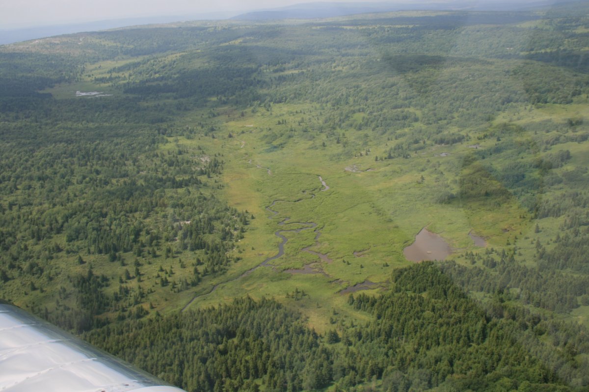
Looking at the valley to the east from Dolly Sods.
|
| |
 |
|
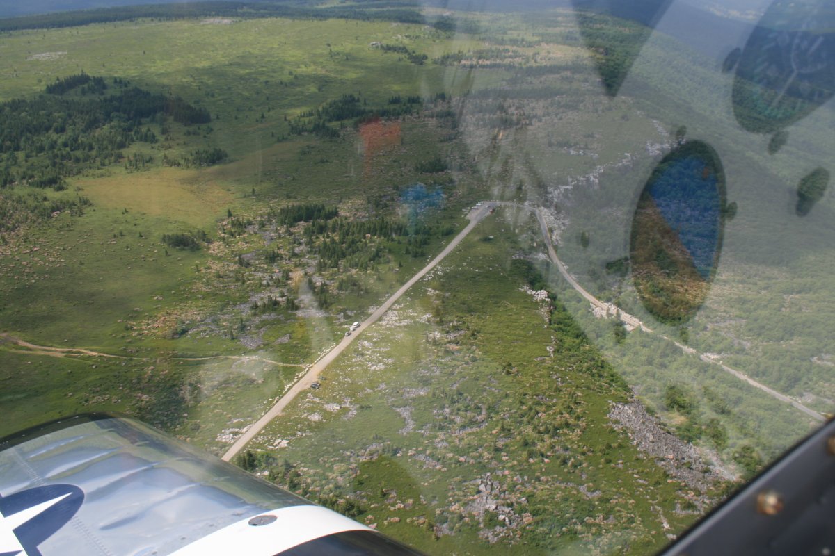
| This must be a trail head for the hikers. I'd like to hike up here someday. |
| |
 |
|
|
Further east is Grant County airport (W99) which is a good place for Wave soaring in gliders.
|
| |
 |
|
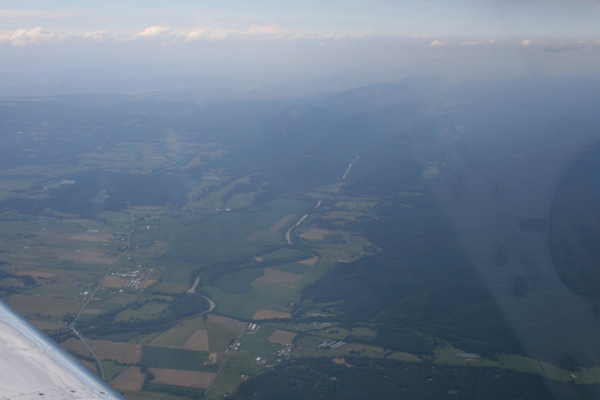
| That's the Potomac River down there. I went rafting on it once. |
| |
 |
|
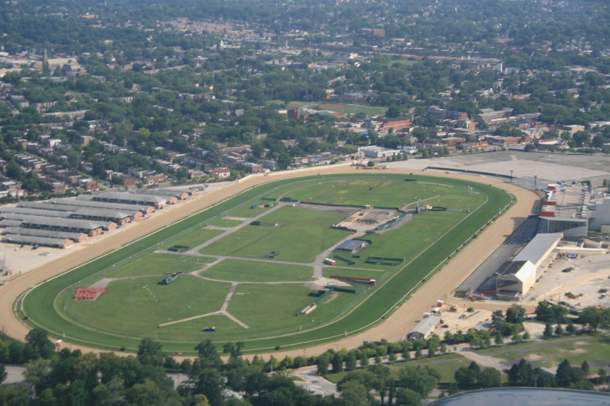
| From there it was the normal trip home which I've flown a thousand times. Here's a good picture of the Pimlico Race Track where they run the Preakness. Finally had a Triple-Crown winner this year. Congrats to American Pharoah! |
| |
 |
|
| |
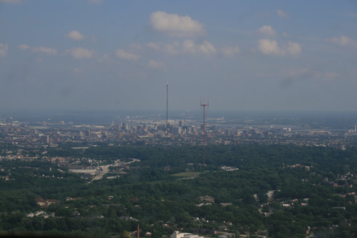
| The 1,500 foot high towers on Baltimore's west side. As long as you are below the highest one, you know you are not in the BWI Class B airspace. |
| |
 |
|
|
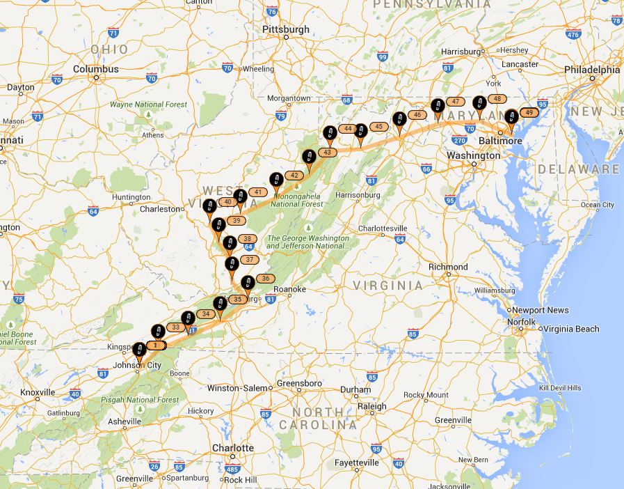
Here is my route from Johnson City, TN to Essex Skypark, MD. Chalk up another great trip in the RV.
|
| |
 |
|
| |
| |
|
|
|
|
|
|